On this page
Accurate for screening, not proof at an address
HailTrace can be useful for identifying where a hail-producing storm likely traveled, but its public documentation does not establish a universal accuracy percentage. A map should be read as a weather analysis with uncertainty—not proof that hail of a stated size struck a particular structure or caused damage there.
That distinction matters because “accurate” can mean several things: locating a storm path, estimating maximum hail size, confirming hail reached the ground, or establishing what happened at one address. One score cannot answer all four questions.
What supports the maps
HailTrace says its meteorologists create hail maps by analyzing dual-polarization radar as storms occur. The company also says it checks the analysis against ground reports and photos from verified locations. This combination can add context that a radar-only display lacks, but those are HailTrace’s descriptions of its own process, not an independent performance study.
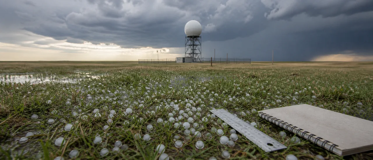
Radar is valuable because it samples storms broadly and repeatedly. It does not directly measure every hailstone at ground level. NOAA’s Maximum Estimated Size of Hail (MESH) product, for example, estimates expected hail size from radar inputs. NOAA notes that MESH can underestimate hail in tilted storms, left-moving supercells, storms with very large bounded weak-echo regions, and storms producing low-density dry hail.
Ground reports have a different limitation: they describe an observation at a specific place and time, not every point inside a mapped swath. A nearby report can strengthen confidence that hail reached the surface without resolving conditions at each parcel.
Three different kinds of evidence
| Evidence | What it can support | What it cannot establish alone |
|---|---|---|
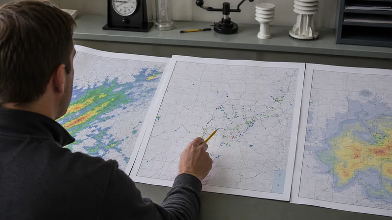
| Radar-derived map | Probable hail footprint and estimated intensity | Exact hail size at every point |
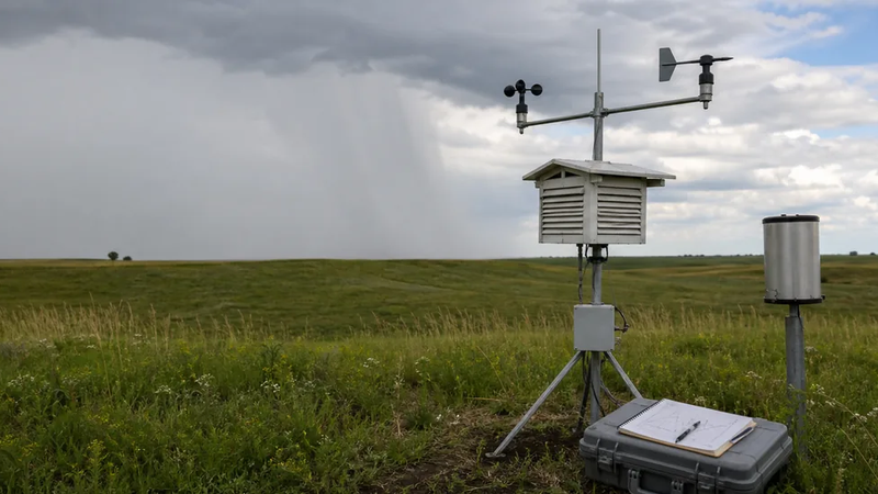
| Verified ground report or photo | Observed hail at a known location and time | Continuous coverage between reports |
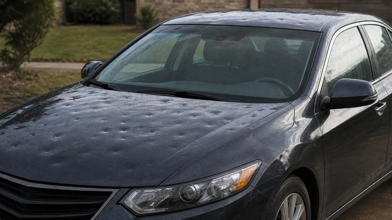
| Property-specific evidence | Conditions at one structure | The full storm path |
HailTrace’s own API documentation reinforces the boundary: its subscription weather endpoint is for displaying and searching purchased map data, not forensic use. A weather-map match and confirmed property damage are therefore separate conclusions.
Current access and practical bottom line
As of August 2026, HailTrace lists Enterprise, Maps & Data, Maps Only, and Free tiers. The public plans page advertises limited free access to one-star maps but directs readers to contact the company for paid-plan pricing. Features and pricing can change, so check the current plan page before comparing access.
Use HailTrace as one input for locating and understanding a hail event. Confidence is higher when radar analysis and reliable surface observations agree near the relevant time and place. Treat map boundaries and hail-size contours as estimates, and do not translate them into property damage without separate property-specific evidence.