On this page
The best map depends on the job
For an active storm, the best hail map combines current National Weather Service radar with a clearly labeled hail-estimate layer. For hail reported at the ground, use National Weather Service Local Storm Reports. For historical research, use NOAA’s National Centers for Environmental Information Storm Events Database. A Storm Prediction Center outlook is better when the question is where hail may occur later.
No single layer wins every comparison. The key distinction is whether the map shows a radar estimate, a reported observation, a historical record, or a forecast probability.
Compare the four useful map types
| Map or data layer | Best use | What it actually shows | Main limitation |
|---|---|---|---|
| Radar with a hail estimate | Tracking an active storm | Algorithmic hail potential or estimated size | An estimate aloft or across a grid, not a ground measurement |
| Local Storm Reports | Checking recent observed hail | Preliminary reports with time, place, source, and reported size | Reports are unevenly distributed and may be estimated |
| NCEI Storm Events | Studying past events | NOAA’s historical storm-event records | The record changes across eras and usually lags real time |
| SPC hail outlook | Planning before storms develop | Probability of severe hail within a forecast area and period | A regional risk, not a predicted hail path or address-level result |
Best for live hail: radar plus an estimate layer
Weather radar is the strongest starting point for storm location and motion. A hail-specific product adds more useful context than reflectivity alone. NOAA applies an algorithm to Multi-Radar Multi-Sensor data to estimate hail size. The product is called Maximum Estimated Size of Hail, commonly shortened to MESH.
The name matters: MESH is an estimated maximum size, not a measurement of stones on the ground. Radar sampling also changes with range because the beam rises and widens, while atmospheric refraction can alter what the radar sees.
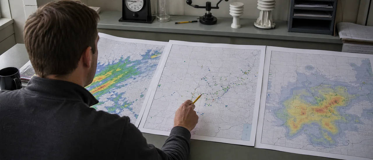
Choose a live map that shows its data time, legend, units, layer name, and update interval. Smooth color swaths may look precise, but the underlying grid and algorithm are not property boundaries.
A hail swath is not a damage map
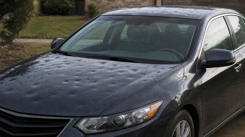
Radar can indicate hail potential, and a report can document hail nearby. Neither establishes that hail struck a particular structure or caused property damage there. Confirmed damage requires separate, location-specific evidence.
Best for observed or historical hail
Local Storm Reports are the better near-real-time choice when the question is, “Where did someone report hail?” National Weather Service offices issue these preliminary reports as close to real time as possible. Entries can identify whether hail size was measured, estimated, or unknown, along with the time, location, and report source.
These points are observations, but they are not a complete footprint. NOAA cautions that its severe-weather inventory does not provide complete coverage because a report may not be provided for a location or time.
For older events, NCEI’s Storm Events Database is the better official research source. NOAA explains that collection and processing changed over time; hail records extend back to 1955, while the broader set of 48 event types begins in 1996. That makes it useful for event lookup, not a uniform address-level hail history.
How to choose quickly
Match the layer to the verb in your question: happening means live radar, reported means Local Storm Reports, happened historically means NCEI, and may happen means an SPC outlook. Then check the timestamp and legend before comparing locations.
The best hail map is therefore the most transparent one for the intended use—not necessarily the one with the brightest colors or sharpest-looking swath. Recheck the source and product definitions after major NOAA updates, or at least every two years.