On this page
Yes—much historical weather data is free to download, but certified records and some specialized services cost money.
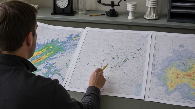
In this context, “historical weather data” means archived observations or derived climate records from past dates. Examples include temperature, precipitation, wind, snowfall, and radar data. It does not automatically mean a custom analysis of what happened at one exact address.
What is usually free
NOAA’s National Centers for Environmental Information provides free online access to major archives through Climate Data Online and other access tools. Users can search by station, location, dataset, and date range, then download available digital records.
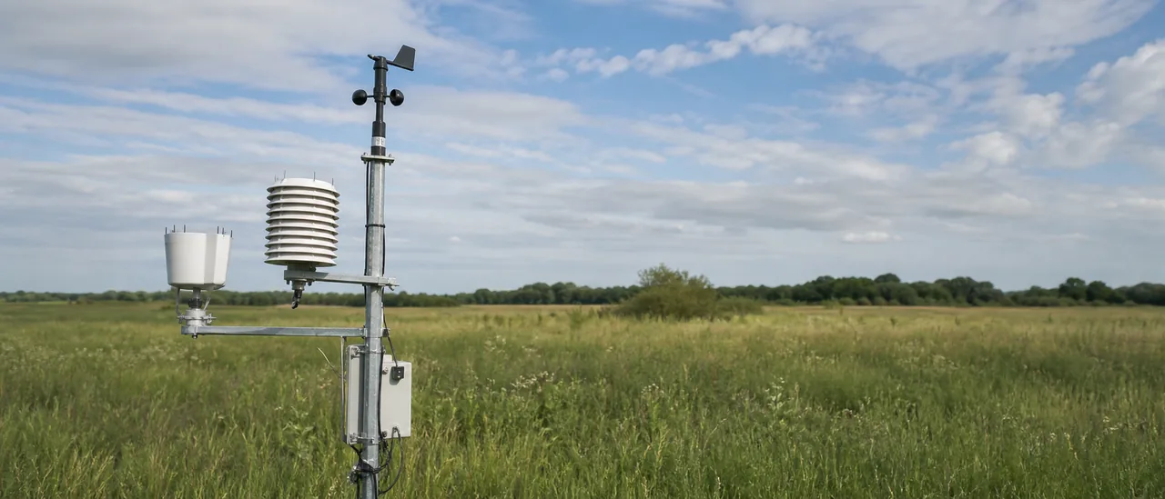
The free material is not one universal file. NCEI organizes observations into datasets with different variables, reporting intervals, station networks, and periods of record. Its land-based data page expressly notes that availability varies by data type and station.
| Need | Typical cost through NCEI | Important limit |
|---|---|---|
| Available digital observations | Free | Coverage depends on dataset, station, and date |
| Department of Commerce certification | Paid | Certification authenticates an archived record for evidentiary use |
| Custom interpretation or analysis | Not included with the free data | The user or a specialist must evaluate what the record means |
When historical weather data is not free
NCEI charges for certified weather records, including digital certified orders. Certification is a separate service intended to meet authentication requirements when records will be submitted as evidence. Current pricing is set in page increments, with shipping charges listed by NCEI, so check the agency’s current fee page rather than relying on an old quote.
Commercial weather platforms may also charge for easier interfaces, bulk access, alerts, reports, or analysis. That fee pays for the provider’s delivery or added work; it does not necessarily mean the underlying public observation was unavailable for free.
Free does not mean complete
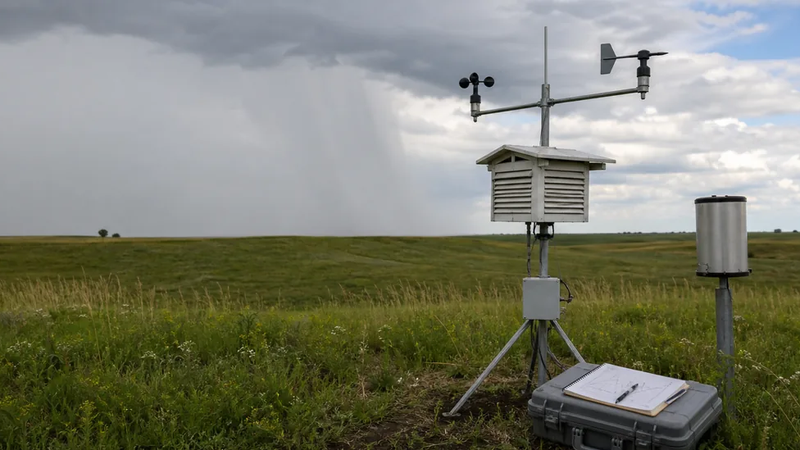
A free download can still contain blanks. GHCN-Daily documentation says blank cells indicate an observation was not reported. Quality flags, station metadata, and the selected time interval matter when interpreting a record.
Practical bottom line
Start by defining the variable, location, date, and time resolution you need. Then identify the nearest appropriate station or dataset and inspect its coverage and metadata before downloading.
For general research, NOAA’s available digital archives are often enough and cost nothing. If the result must be certified, analyzed for a specific site, or delivered through a value-added commercial platform, expect possible fees. A nearby station or radar estimate can describe conditions in its measurement area, but it does not by itself establish what occurred at one property.