On this page
Yes, with limits on detail and coverage
Yes, an app can show past weather, but its answer is only as specific as the underlying observation or archive. Some interfaces provide daily station readings, while others display older radar imagery or summarized conditions.
In this context, “past weather” means recorded observations or archived remote-sensing data from an earlier date. It does not mean a perfect replay of every condition at an exact address.
What a past-weather app may show
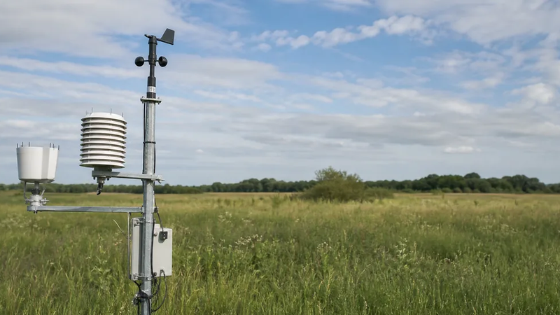
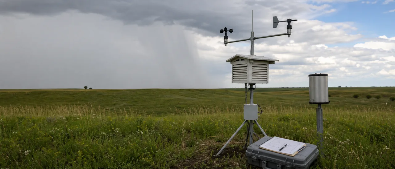
Historical station records commonly include daily maximum and minimum temperature, precipitation, snowfall, and snow depth. The available variables depend on the station. NOAA notes that about half of the stations in its global daily network report only precipitation.
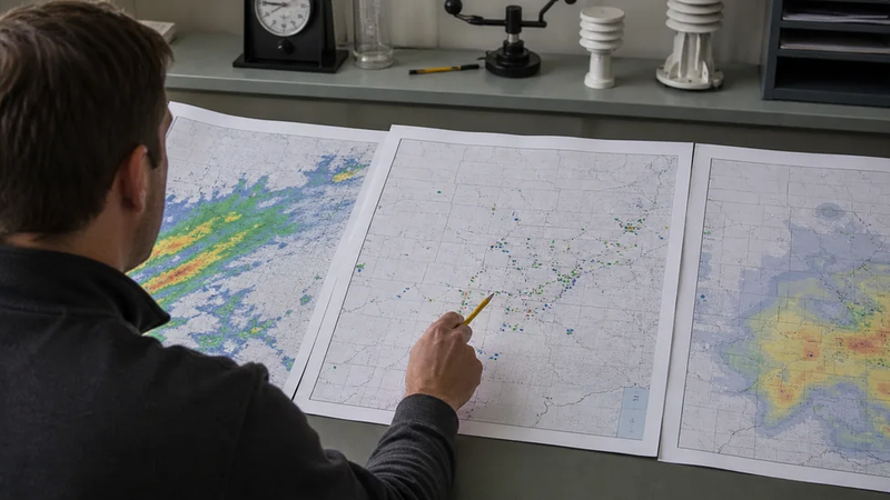
An interface may also provide archived radar. That is a different type of record: radar detects energy returned from objects in the atmosphere, while a weather station records conditions at its location. NOAA’s radar archive includes the NEXRAD and Terminal Doppler Weather Radar networks.
A radar image is not a point observation
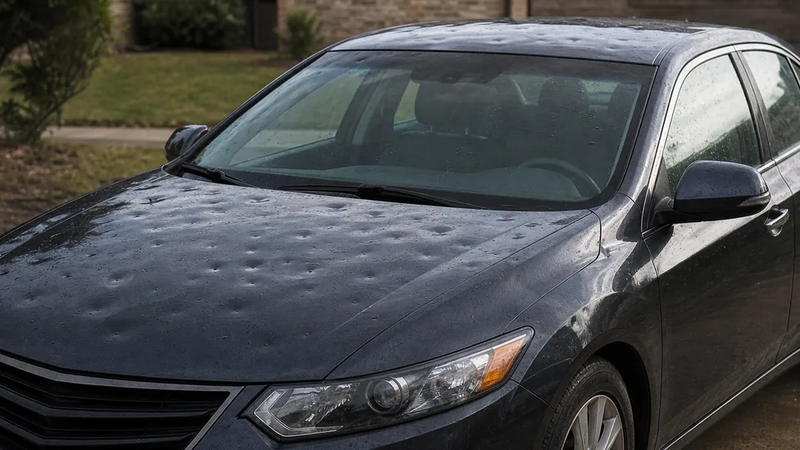
Archived radar can show where precipitation or storm features were detected. It does not, by itself, verify a particular weather condition at one street address or prove that hail reached the ground there.
For a useful search, identify:
- the location and date;
- the needed variable, such as temperature, rain, wind, or radar;
- whether hourly or daily detail is required; and
- whether a nearby station is representative of the location.
Why two apps may disagree
Different displays may use different stations, reporting periods, time zones, or datasets. A daily precipitation total can also depend on when the 24-hour reporting period ends. NOAA cautions that some global daily summaries may differ from summaries ending at local midnight, especially for precipitation.
Coverage varies too. NOAA’s daily network combines records from many sources, and each station has its own available variables and period of record. Recent values may still change as archive-quality data replaces real-time feeds; NOAA says those sources are normally available 45 to 60 days after a month closes.
Practical bottom line
Use a past-weather app for convenient lookup, then match the tool to the question. Choose station observations for measured temperature or precipitation near a location, and choose a radar archive for the storm’s broader movement and structure. Check the station, timestamp, units, reporting interval, and whether the data are preliminary before treating a displayed value as definitive.