On this page
The direct answer
Meteorologists predict hail size by combining the storm environment with computer models, then updating the estimate as radar observes the developing thunderstorm. Temperature, moisture, winds, updraft strength, and supercooled liquid water indicate whether hail can grow and survive its trip to the ground.
The result is a probability or estimated maximum size—not a measurement of every stone that will fall. That distinction matters because hail sizes can vary across one storm and even within one neighborhood.
Before a storm: estimate the growth environment
Forecasters first examine whether the atmosphere supports deep, moist convection. Small ice particles and supercooled water droplets can combine as an updraft carries them above the freezing level.
Stronger, longer-lived updrafts can keep growing stones aloft. Forecasters also consider the vertical temperature profile because hail may shrink or melt while falling through warmer air.
Short-term models turn those ingredients into possible outcomes. For example, NOAA’s experimental Warn-on-Forecast system uses nearby profiles of temperature, moisture, and winds to model maximum surface hail diameter. Its ensemble shows how many model members exceed a size threshold, making uncertainty visible rather than hiding it behind one number.
During a storm: refine the estimate with radar
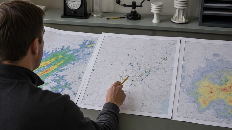
Once a thunderstorm forms, Doppler radar reveals its structure and precipitation. Dual-polarization radar sends horizontal and vertical pulses, adding information about particle size and shape. Forecasters combine multiple radar variables to distinguish rain, melting hail, and areas of smaller or larger hail.
Multi-Radar, Multi-Sensor processing produces Maximum Estimated Hail Size (MESH). The algorithm uses radar reflectivity above the environmental freezing level to estimate expected hail size. Forecasters compare that guidance with storm structure, environmental data, trends over successive scans, and credible reports from the ground.
Three different kinds of evidence
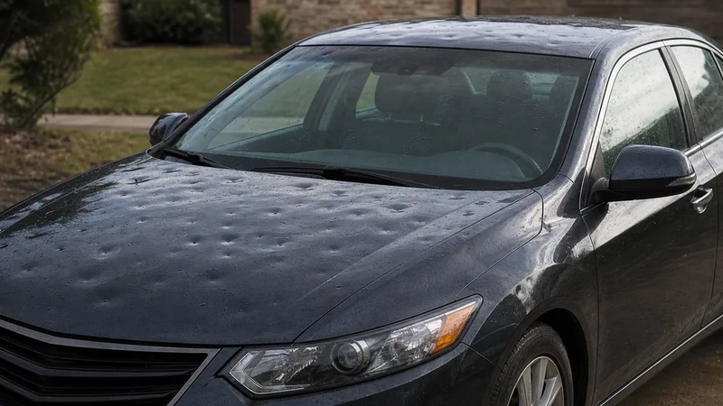
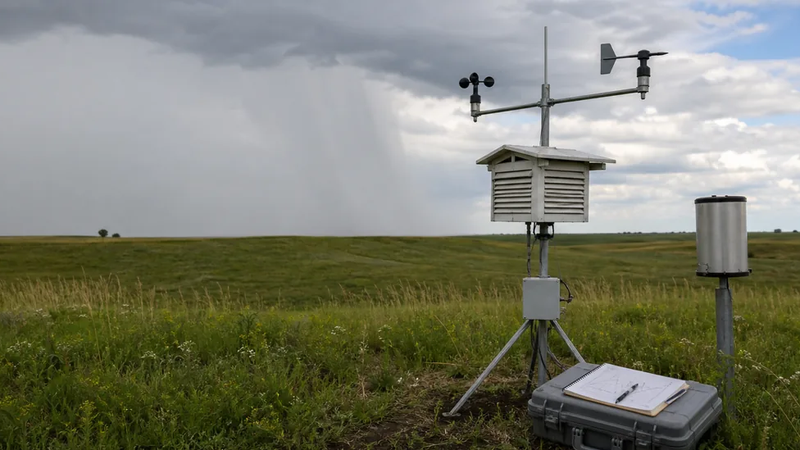
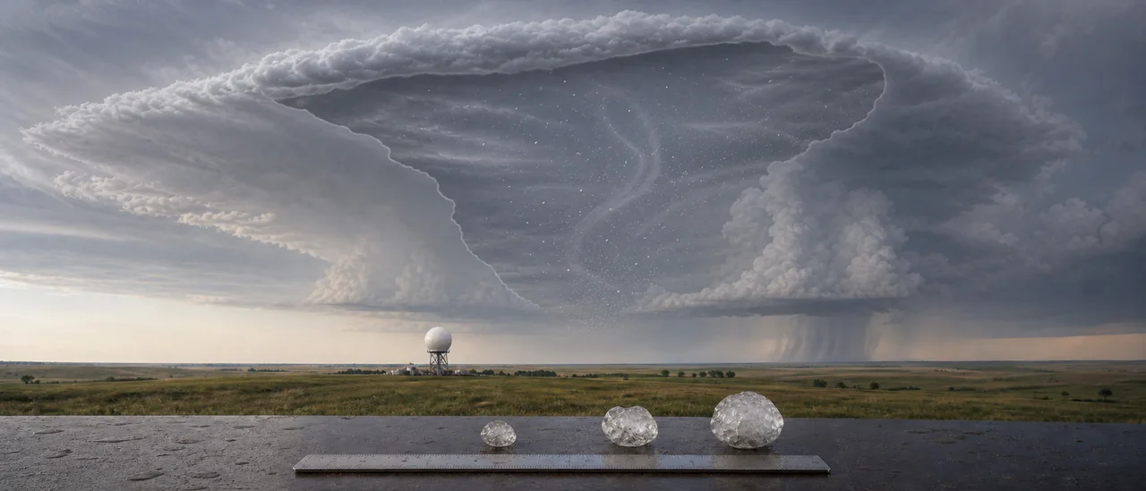
Radar-estimated hail is a remote calculation of probable conditions. Observed hail is reported or measured at the ground; a ruler gives better evidence than an object comparison. Confirmed property damage requires separate evidence from the property itself. Neither a radar estimate nor a nearby hail report proves damage at a particular address.
Why the prediction has limits
Radar samples precipitation above the ground, not every stone at the surface. Beam height and distance, storm tilt, melting, wind-driven trajectories, and mixed hail sizes can all separate an estimate from what lands at one point.
Reports have limits too. NOAA notes that severe-weather records do not cover every place or time, while automatically derived radar records represent probable conditions rather than confirmed occurrence. A measured report is therefore valuable for checking a forecast, but it still describes a particular place and moment.
The practical bottom line is a range of evidence, not perfect foresight. Environmental analysis estimates what a storm could produce; radar narrows the answer while the storm is active; ground measurements show what actually fell where they were taken.