On this page
The direct answer
Meteorologists predict hail by combining the expected storm environment with computer models, satellite and radar observations, and reports from the ground. They estimate whether thunderstorms can form, whether their updrafts can grow hail, and where those storms may travel.
The result is a probability or warning decision, not a promise for one address. Hail can form aloft and melt before reaching the surface.
What forecasters look for first
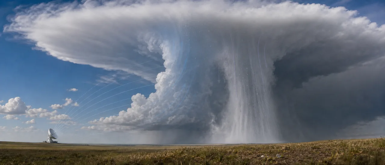
Before storms develop, forecasters study observations and model guidance for deep, moist convection. NOAA’s National Severe Storms Laboratory identifies three basic hail ingredients: an updraft that keeps an embryo aloft, supercooled liquid water that freezes onto it, and an initial particle such as ice, snow, or dust.
Storm organization also matters. Strong, persistent updrafts give hailstones more time to collect ice. Meteorologists therefore assess instability, moisture, wind shear, temperatures aloft, and likely storm mode together. No single threshold perfectly separates hail-producing storms from storms without surface hail.
How radar sharpens the prediction
Once storms form, Doppler radar shows precipitation intensity and motion. Dual-polarization radar sends and receives energy in horizontal and vertical orientations, giving forecasters clues about particle shape and type. Classification algorithms can distinguish signatures consistent with hail from rain or ice pellets.
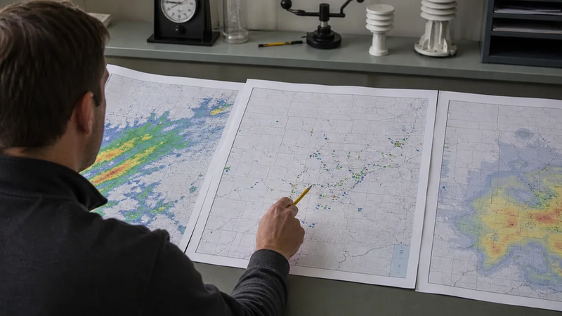
Automated products add another layer. NSSL’s Multi-Radar, Multi-Sensor system produces MESH, short for Maximum Estimated Hail Size. Forecasters use products like this as guidance alongside the storm’s structure, evolution, environment, and reports—not as stand-alone measurements at the ground.
Estimate, observation, and damage are different findings
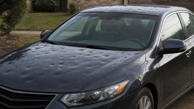
A radar product estimates hail within a sampled storm volume. A ground report documents hail seen at a stated place and time. Neither, by itself, confirms that hail damaged a particular property; that requires separate, property-specific evidence.
Why uncertainty remains
Radar samples the atmosphere rather than every point at ground level. Beam height and distance, melting below the beam, mixed precipitation, rapid storm changes, and gaps between reports can all affect the answer. Even a good size estimate describes likely hail within part of a storm, not a uniform blanket across its path.
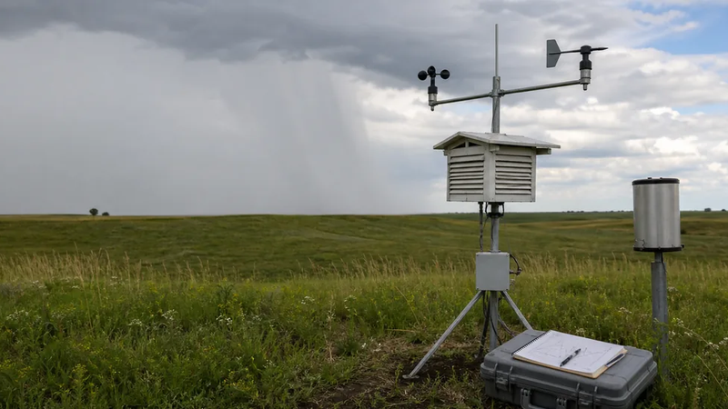
Ground reports provide “ground truth.” Trained spotters can report the largest observed hailstone, location, time, and any specific damage. Those reports help meteorologists check radar interpretation and update warnings, but reporting coverage is uneven.
Practical bottom line
Hail prediction is a layered assessment: ingredients and models indicate potential, radar follows the storm in real time, and observations test what reached the surface. Read a forecast map as an area of risk and a radar-derived hail map as an estimate. Neither establishes exact hail size—or property damage—at every location beneath it.