On this page
The direct answer
Storm chasers choose a forecast target, not a guaranteed storm location. They first identify a broad area where severe thunderstorms may develop, then narrow it using current observations, radar, storm motion, road access, and safe viewing options.
The destination can change repeatedly. A forecast made the night before may suggest one region, while morning clouds, a shifted boundary, or delayed storm development favors another.
From outlook to target
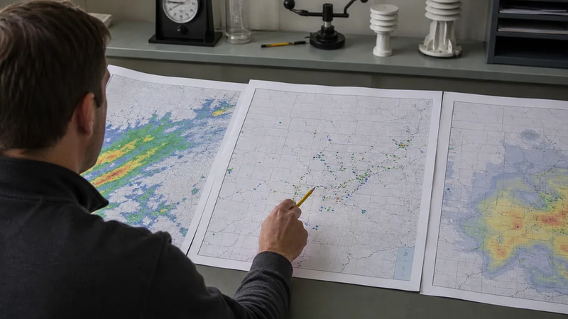
The Storm Prediction Center's convective outlooks show where severe weather may occur from the current day through day three. Chasers use that broad guidance alongside forecast models and local forecast discussions to compare the ingredients storms need.
The most useful variables depend on the day, but common questions include:
- Where are warm, humid surface air and atmospheric instability strongest?
- Where will winds change speed or direction with height enough to organize storms?
- Where are fronts, drylines, outflow boundaries, or other lifting zones?
- Will clouds or a strong cap suppress development, and when might storms initiate?
No single map answers all four. Chasers compare multiple observations and model runs because the atmosphere and the forecasts both carry uncertainty.
A target is a probability judgment
A favorable environment does not promise that a storm will form at a particular town. It identifies an area where the ingredients overlap, often with uncertainty about timing and exact placement.
How the plan changes in the field
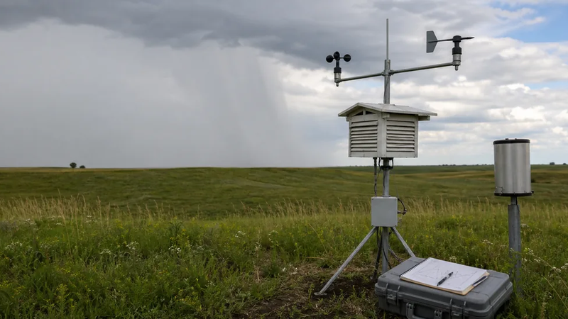
As the event approaches, real-time data matter more. Surface observations reveal temperature, humidity, wind shifts, and boundaries. Satellite imagery shows cloud development, while radar loops show where precipitation has formed and how storms are moving.
Once storms exist, chasers select among them by considering structure, persistence, access, visibility, and motion. The National Weather Service notes that radar loops help reveal motion, but radar images may already be several minutes old. Visual observations therefore remain important.
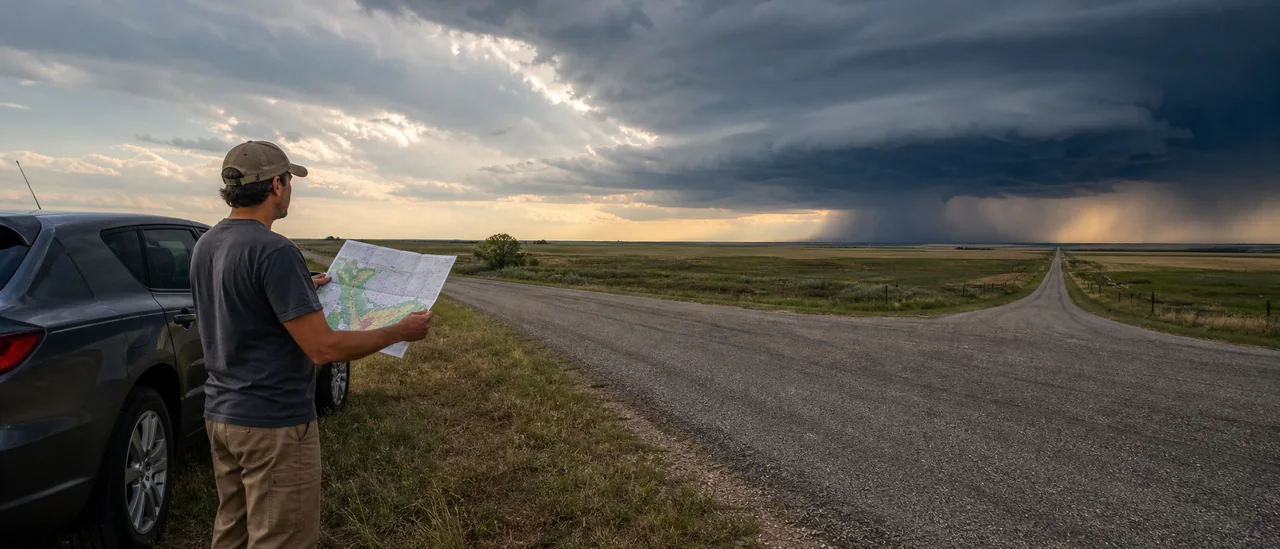
Position is relative to the storm, not a fixed compass rule. For a northeast-moving storm, a location southeast of it may provide a view of the updraft region, but storms can turn, split, accelerate, or become hidden by rain and hail. The route network and available escape directions can rule out an otherwise attractive target.
The practical bottom line
Experienced chasers continuously combine forecasts with what the atmosphere is doing now. They also leave room to retreat: the National Weather Service advises maintaining a buffer, knowing more than one escape route, avoiding the storm core, and never studying a radar screen while driving.
That is the central limitation. Meteorology can identify better odds, but it cannot provide a precise, risk-free appointment with a storm.