On this page
Start with location, time, and motion
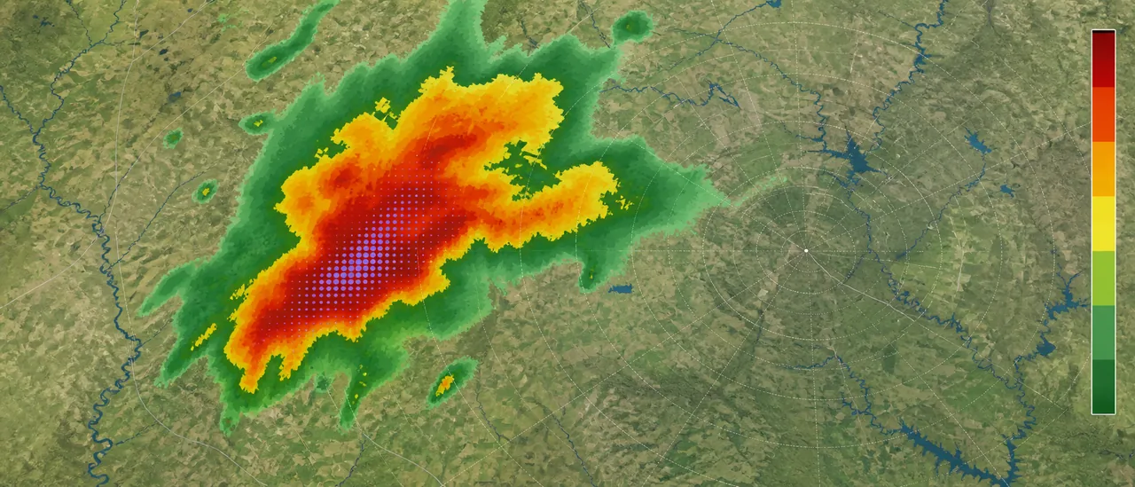
Open current base reflectivity, confirm the timestamp, and mark your location. Then loop several frames to see whether the strongest part of the storm is approaching, passing, or moving elsewhere. The National Weather Service recommends these same checks because a single image cannot show motion.
If a severe thunderstorm warning covers your location, go inside a sturdy building and stay away from windows. Do not delay shelter while trying to diagnose hail on a screen.
Read the radar in four steps
- Check the product and legend. Use reflectivity first. Higher reflectivity means more energy is returning from precipitation, but color scales differ among apps. Read the displayed dBZ legend instead of assuming every red or purple area means hail.
- Find the intense core. Hail often resembles extremely heavy rain on reflectivity. A compact high-reflectivity core raises suspicion, but rain, precipitation size, and particle density can produce similar values.
- Add dual-polarization clues when available. Compare that core with correlation coefficient (CC) and differential reflectivity (ZDR). A localized area of lower CC and near-zero ZDR within high reflectivity can support a hail interpretation because mixed or roughly spherical particles behave differently from uniform raindrops. These patterns depend on hail size, melting, and radar geometry; they are clues, not a universal threshold.
- Check hail products and reports. Some radar apps show MESH, meaning Maximum Estimated Size of Hail. It is an algorithmic estimate. Compare it with official warnings and time-matched ground reports rather than reading one estimated number as a measurement.
Three different kinds of evidence
Radar estimate: an interpretation of echoes aloft. Observed hail: a time-and-place report of hail reaching the surface. Confirmed property damage: physical evidence at a particular site. None automatically proves the next.
Understand what radar cannot confirm
Radar samples precipitation in the atmosphere, not every point at ground level. The beam rises and broadens with distance, while hail may melt, drift, or fall unevenly. Automated hail-size output is therefore an estimate with location and timing uncertainty—not a property-level damage map.
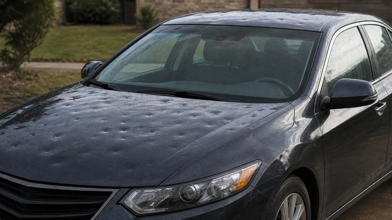
For past storms, match the radar time and path with credible, location-specific reports. Even a verified hail report confirms hail at the observer’s location, not at every address under the same radar color. Damage requires separate, site-specific evidence; radar, MESH, warnings, and reports cannot confirm it by themselves.
For real-time decisions, rely on current National Weather Service warnings and local guidance. Ask a meteorologist or weather-data specialist to interpret archived radar when the exact scan, radar distance, product settings, or hail-estimate uncertainty matters.