On this page
MESH is a radar-derived hail-size estimate
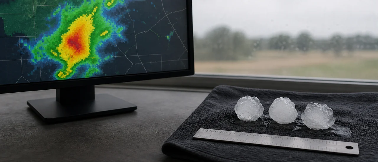
Maximum Estimated Size of Hail (MESH) is a gridded radar product that estimates the largest hail a storm may be producing. It matters because it can highlight a serious hail threat where no reliable ground report is available. It is an estimate of conditions in and below a storm, not a measurement of a hailstone at a particular address.
The National Severe Storms Laboratory’s Multi-Radar, Multi-Sensor system produces MESH. Forecasters use it for situational awareness, warnings, and later analysis of hail events.
How radar becomes a size estimate
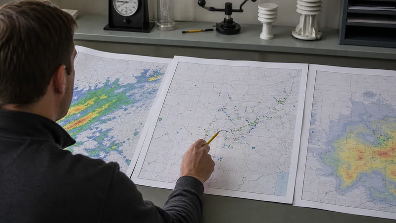
MESH does not identify and measure individual stones. The algorithm starts with radar reflectivity, emphasizing strong echoes within temperature layers favorable for hail growth. It vertically combines those signals into the Severe Hail Index, then converts that index to an estimated diameter through a statistical relationship.
That approach provides consistent spatial coverage beyond the points where people happen to report hail. The estimate can also improve when multiple radars sample the same storm.
“Maximum” does not mean measured maximum
The word describes the algorithm’s estimate for a radar grid cell or storm area. It does not certify the largest stone that reached the ground, and it is not a property-level damage finding.
What can make MESH differ from hail on the ground?
Several limitations matter when reading a MESH map:
- The operational method was intentionally calibrated toward overestimation; its original design placed about 75% of observed hail sizes below the radar estimate.
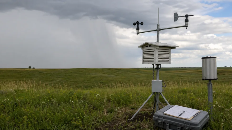
- Radar samples the storm aloft, while hail can melt, drift, or fall unevenly before reaching the surface.
- Sampling geometry and the number of radars viewing the storm affect the inputs.
- Research comparing MESH with surface reports found that specific MESH values did not align neatly with specific observed sizes.
These are reasons to interpret MESH probabilistically, not reasons to dismiss it. Its broad, regular coverage is especially useful at night or in sparsely populated areas, where human reports may be missing.
Radar estimate, hail report, and damage are different evidence
| Evidence | What it supports | What it does not prove |
|---|---|---|
| MESH | Radar-indicated hail potential and estimated maximum size | The exact stone size at one property |
| Ground report | The size seen or measured at a stated time and place | Complete hail coverage nearby |
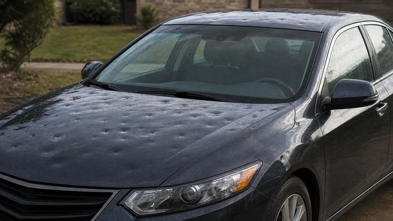
| Documented damage | That a specific object or surface was affected | The responsible hailstone’s exact diameter |
The National Weather Service tells spotters to report the largest hailstone and any damage as separate details. A safely measured stone is the clearest evidence of observed size. MESH can add storm context, but neither a radar pixel nor a damage photo should be treated as proof of what fell at one precise location.