On this page
The best free choice depends on what you need to track
For most people, Weather & Radar is the strongest free starting point. Its map combines current and forecast storm movement, lightning, alerts, and a simple display. Choose MyRadar for a faster, radar-first view, FEMA for official National Weather Service alerts across several saved places, or mPING for public reports of hail reaching the ground.
No option is a universal winner. A radar loop answers a different question from a warning or a surface report.
| Best use case | Free option | What it does well | Important limit |
|---|---|---|---|
| One all-purpose storm map | Weather & Radar | Current and forecast storm maps, lightning, and alerts | Storm colors do not establish confirmed hail |
| Quick radar check | MyRadar | Fast composite-radar view with NOAA weather alerts | A precipitation image is not a hail-size measurement |
| Official alerts for saved places | FEMA | NWS weather and emergency alerts for up to five locations | Alert-focused, not a detailed hail-analysis tool |
| Reports near the ground | mPING | Maps anonymous public weather reports, including hail | Crowdsourced reports vary with participation and location |
How to judge a free hail app
Start with timeliness and map clarity. A useful app should make storm motion easy to follow without hiding basic radar or warnings behind a subscription. Location-based alerts matter, but they should clearly identify the issuing authority and affected area.
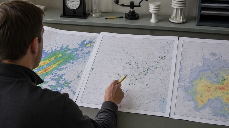
Next, check what the map actually represents. Weather & Radar’s official feature guide covers past, current, and future maps for precipitation, storms, and lightning. Those layers can show a storm approaching, but they do not prove that hail is falling at a selected pin.
MyRadar offers a simpler alternative when speed matters most. Its official feature page describes high-definition composite radar and NOAA weather alerts. It is useful for seeing precipitation approach, but its basic radar view does not turn a storm echo into a verified hail observation.
FEMA is the better companion when official alerts are the priority. The free app distributes NWS alerts for up to five specified locations. It is less suited to visually interrogating a storm, so pairing it with a radar-first app gives a more complete picture.
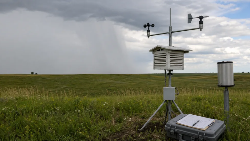
mPING serves another role entirely. NOAA’s National Severe Storms Laboratory calls it a free crowdsourcing app and displays submitted reports on a public map. These observations can show what people report near the surface, where weather radar cannot directly see, but an empty map may simply mean nobody nearby submitted a report.
Radar estimate, observed hail, and property damage are different
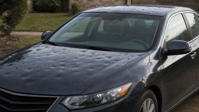
Radar can suggest hail or estimate its size inside a storm. An “observed” warning uses radar confirmation or reliable reports, while mPING shows public surface submissions. None of those records, alone, confirms that hail struck or damaged a particular property.
A practical free setup
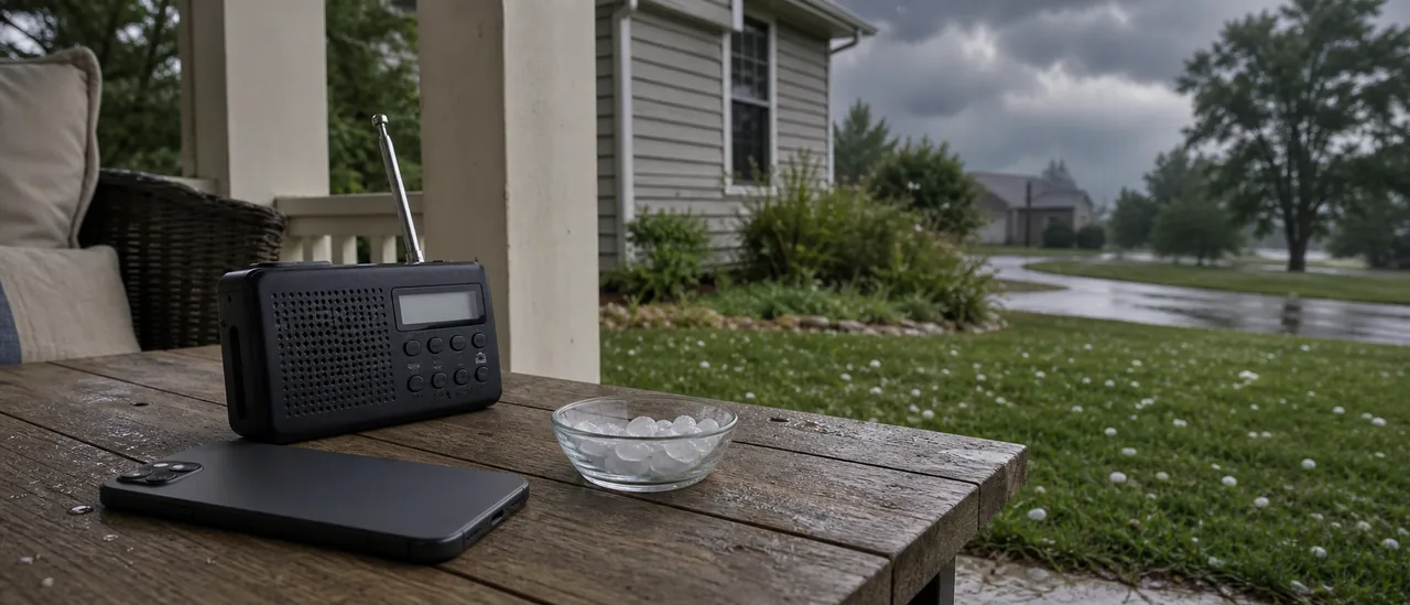
Install one radar-first app and enable official warnings on the phone. Weather & Radar offers the most balanced single-app choice; MyRadar is a good substitute if its cleaner radar presentation fits you better. Add FEMA when monitoring several U.S. locations, and consult mPING only as supporting ground context.
Free tiers, advertisements, and included layers can change. This comparison was checked on August 2, 2026; review the current store listing and privacy permissions before installing.