On this page
The best choice depends on the job
For one operational app, a contractor-focused hail platform such as HailTrace is the better fit for most roofing teams. It combines storm targeting with notifications, canvassing, and customer tracking. RadarScope is better for a weather-trained user who wants to examine live radar products directly. NOAA and National Weather Service tools are the best no-cost reference, but they are separate data tools rather than a roofing workflow.
That is not a universal product ranking. “Hail app” can mean a radar viewer, a historical hail-map service, or a field-sales platform. The best choice is the one that matches the task and performs well in the team’s actual territory.
| Option | Best use | Useful capabilities | Main limitation |
|---|---|---|---|
| Contractor hail platform, such as HailTrace | Territory planning and field follow-up | Storm targeting, customer notifications, canvassing, and customer tracking | Vendor-derived maps and workflow claims require a trial; weather layers do not prove roof damage |
| RadarScope Pro Tier 2 | Live storm analysis by a trained radar user | Radar loops, dual-pane comparison, hail contours, local storm reports, and a 30-day archive | Steeper learning curve; not a canvassing or property-inspection system |
| NOAA/NWS web tools | Checking source data and official historical records | Public radar, severe-weather records, downloads, and documentation | Fragmented workflow; historical records can be delayed or incomplete |
What roofers should compare
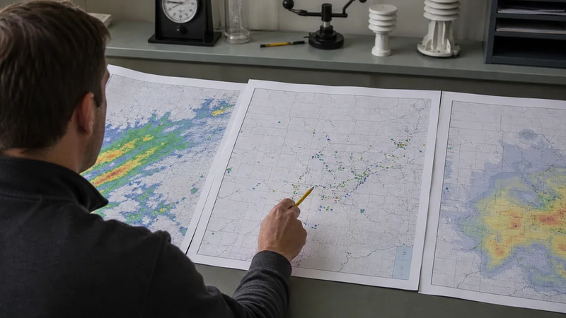
Start with data provenance. A useful app should label radar-derived estimates, observed storm reports, and reviewed historical records separately. It should also disclose update timing, geographic coverage, and whether a meteorologist modifies automated output.
Then test the working features: address search, saved territories, alerts, exports, team notes, offline behavior, and integrations. A sophisticated radar display is poor value if nobody can interpret it. Likewise, a polished sales map is weak if the source, timestamp, or estimated-versus-observed status is unclear.
Use a recent local storm for the trial. Compare the app with NWS warnings, radar, and available reports. Check whether the map loads quickly on field phones, whether alerts arrive at useful times, and whether exported records retain their source labels. Pricing matters, but an inexpensive tool that creates manual rework is not inexpensive for long.
Match the app to the use case
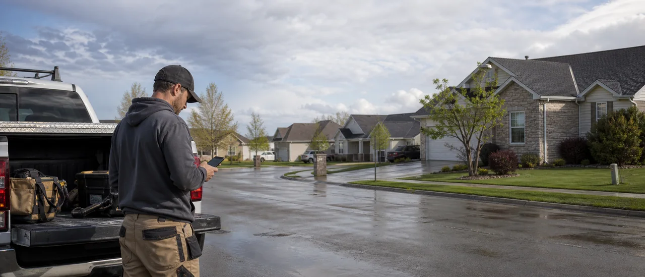
Choose a contractor hail platform when managers need to prioritize areas and coordinate representatives in one system. HailTrace’s current Android listing describes hail, wind, and tornado targeting, customer notifications, canvassing, and customer tracking. Those are product-scope claims, not independent proof that its maps are more accurate than competitors.
Choose RadarScope when a trained user needs detailed, near-real-time radar analysis. Its current Pro Tier 2 documentation lists hail-size and probability contours, NWS local storm reports, and 30 days of archived radar products. Those tools help interpret a storm, but “may have fallen” is the right level of certainty for a radar contour.
Choose NOAA/NWS tools when the priority is checking public source records rather than running a sales territory. They are also a sensible benchmark when evaluating a paid platform.
A hail map is a lead, not a roof diagnosis
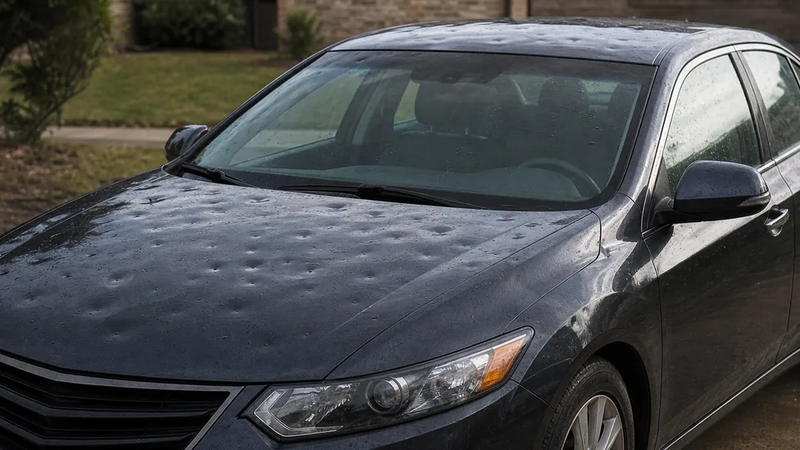
Radar output represents probable conditions across an area. A ground report documents an observation at a reported place and time. Neither confirms damage to a particular property; that requires property-specific evidence and evaluation.
Limits and update date
NOAA warns that automatically derived severe-weather data often represents probable conditions, not a confirmed occurrence. Its archive may also have coverage gaps. NWS Storm Data adds event details collected from spotters, officials, surveys, and other sources, but final records can appear 90 to 120 days later.
This comparison was checked in August 2026. App features, prices, integrations, and data coverage can change, so verify the current plan and run a territory-specific trial before committing.