On this page
Cheyenne, Wyoming, is the strongest city-level answer, based on its location in Hail Alley and its frequent severe-hail reports. “Hail capital” is an informal nickname, however, not a single official national ranking.
Why Cheyenne gets the title
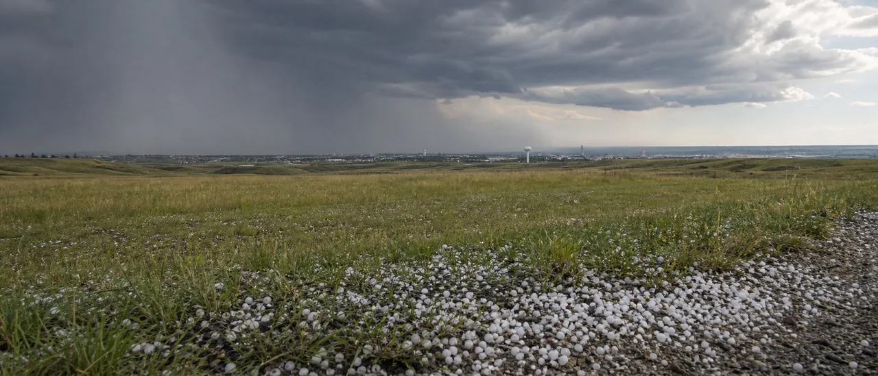
Cheyenne lies near the center of a hail-prone region covering southeast Wyoming, western Nebraska, and northeast Colorado. NOAA’s National Severe Storms Laboratory calls the area where those three states meet Hail Alley and says it averages seven to nine hail days per year.
A National Weather Service analysis provides a city-scale view. It reports that Cheyenne, Sidney, Nebraska, and their surrounding areas average more than six days each year with severe hail reported in the vicinity.
The study maps severe hail greater than one inch in diameter. Its six-day figure therefore does not count every smaller-hail occurrence, another reason to state the metric alongside the nickname.
That makes Cheyenne a defensible answer, but not an undisputed trophy winner. The weather, inconveniently, has declined to respect municipal boundaries.
What “hail capital” can—and cannot—mean
The answer changes with the chosen measure. A count might track all hail days, only severe hail, individual reports, hailstone size, or financial losses. Those categories are not interchangeable.
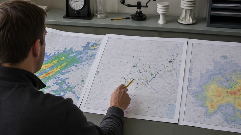
The NWS Cheyenne study defines a hail day as a unique day with a report within 25 miles of a location. It also warns that population density and road networks can cause underreporting in sparsely populated areas. A report-based map therefore shows where hail was documented, not every place hail actually fell.
Three kinds of evidence
- Radar estimate: MESH uses radar data to estimate maximum hail size within a storm.
- Observed hail: A measured or reliably reported hailstone documents hail at a stated place and time.
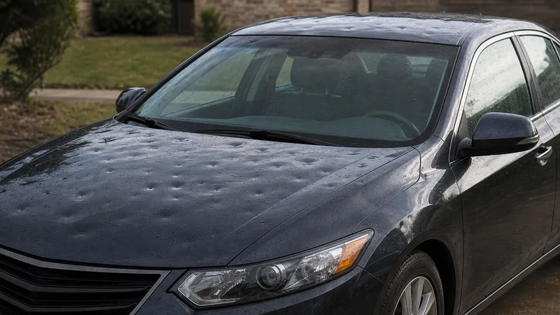
- Confirmed damage: Property damage requires separate evidence; neither a radar estimate nor a nearby hail report proves damage at a particular address.
The distinction matters when interpreting maps and databases. NSSL describes MESH as a “Maximum Estimated Hail Size” product. NOAA’s Storm Events Database separately records event narratives and damage fields, and NCEI cautions that property and crop damage amounts are broad estimates.
The practical bottom line
For a one-city answer, use Cheyenne, Wyoming, with the caveat that the label is informal. For the more meteorologically accurate answer, think regionally: Hail Alley spans parts of Colorado, Nebraska, and Wyoming, and Cheyenne is one prominent location within it.