On this page
The direct answer: an individual tornado
If “predict” means naming the exact place, time, strength, and path, an individual tornado is arguably the hardest weather event to forecast. There is no universal scientific ranking of every weather hazard, so the honest answer depends on the forecast scale and lead time.
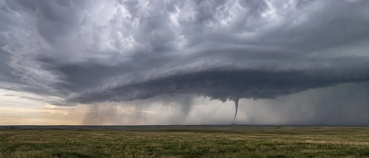
Meteorologists can often identify a region where tornado-supporting thunderstorms may form. They cannot yet say far in advance which storm will produce a tornado, precisely when it will touch down, or which narrow path it will take. NOAA’s National Severe Storms Laboratory (NSSL) describes tornadoes as rare, difficult to predict, and still not completely understood.
Risk forecast does not mean exact-event forecast
A forecast may correctly identify a favorable region and time window even when no one can specify the eventual tornado track. Watches communicate favorable conditions; warnings concern an imminent or ongoing threat.
Why tornado prediction is unusually difficult
A tornado is much smaller and shorter-lived than the larger weather system that supports it. Forecast models and observations can represent broad ingredients, yet critical changes occur inside and near individual thunderstorms.
The central problem is tornadogenesis—the process that creates a tornado. NSSL continues to study why some rotating thunderstorms produce tornadoes while others do not. Small differences in a storm’s airflow, near-ground environment, boundaries, and evolution can change the outcome.
Scale also limits forecast precision. NSSL says its experimental Warn-on-Forecast System can predict strong rotation within individual thunderstorms, but its resolution is not yet high enough to predict individual tornadoes. Once radar or spotters indicate a tornado, forecasters can issue a warning and estimate the parent storm’s movement. Even then, NOAA cautions that the affected path cannot be perfectly precise.
Where hail and other hazards fit
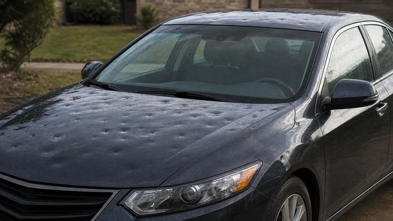
Hail is also a difficult storm-scale forecast. Forecasters evaluate updraft strength, supercooled water, and the presence of an ice embryo. They must then estimate whether hail will grow, melt before reaching the ground, and fall along a particular track.
That makes exact hail size and location uncertain. However, the most defensible general answer remains an individual tornado because forecasters must distinguish a tornadic storm from many similar-looking storms, then resolve an extremely small, brief event.
The answer changes with the question being asked. Hurricane intensity, flash-flood placement, thunderstorm initiation, and damaging wind can each be the hardest problem in a particular setup. “Hardest” is not a permanent trophy; it describes the forecast target.
Practical bottom line
Treat severe-weather forecasts as layers of increasing specificity. An outlook identifies where ingredients may come together, a watch means conditions are favorable, and a warning calls for immediate attention to a detected or imminent threat. The inability to predict an exact tornado days ahead does not make the earlier risk forecast useless—it explains why updated official information matters as storms develop.