On this page
Northern Argentina sits in a leading global hail belt
The best-supported short answer is northern Argentina and the neighboring belt through Paraguay, Uruguay, and southern Brazil. Satellite-based global research places this region among the areas with the highest hail frequencies, alongside the central United States and part of central Africa.
That answer needs a definition. Hail is ice precipitation produced within thunderstorm updrafts. “Most” might mean the greatest number of hail days, the most large-hail storms, the most reports, or the greatest losses. Those measures do not identify the same place.
The metric changes the winner
A location with frequent small hail can lead in hail days without leading in 5-centimeter hail. Likewise, a populous city can record larger losses than a more hail-prone rural region.
Why this region produces exceptional hail
A NASA report summarizes Bang and Cecil's 2019 peer-reviewed study, which used more than 16 years of satellite observations. It identifies the northern Argentina–Paraguay–Uruguay–southern Brazil corridor among the world's highest-frequency hail regions. Unlike local report counts, satellite instruments apply one observing approach across broad areas, making them useful for comparison.
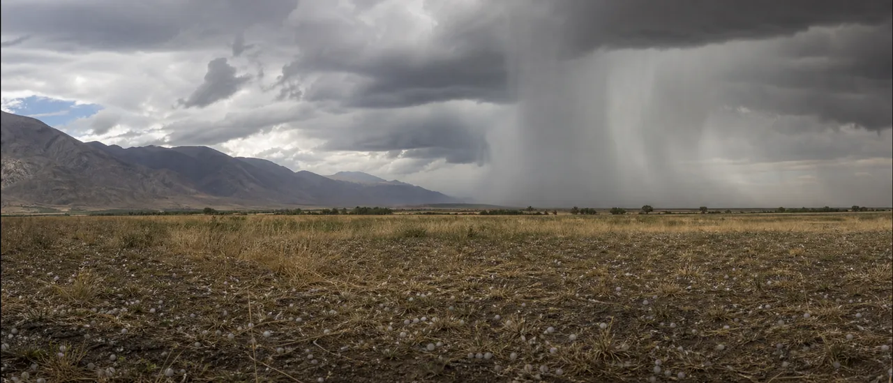
The physical starting point is a strong thunderstorm updraft. Rising air carries raindrops into extremely cold parts of a storm, where they freeze. Stronger, longer-lasting updrafts can keep ice aloft while more water freezes onto it, creating larger hailstones.
The same study identified two other broad high-frequency regions:
- the central United States; and
- part of central Africa.
These broad hotspots do not establish one town as the champion under every definition.
Why no map gives a perfect worldwide count
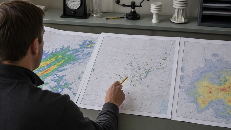
Global hail records are uneven. Weather stations, radar coverage, reporting practices, population density, and definitions vary sharply between countries and through time. Even satellites infer hail from storm signals rather than counting every stone at ground level, so their maps remain estimates.
The data type also matters:
- Radar estimates identify storm signatures and probable hail over an area. They are not direct measurements at the surface.
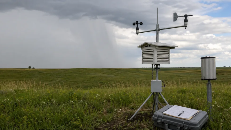
- Observed hail comes from gauges, trained observers, public reports, or recovered stones. Sparse populations can leave real storms unreported.
- Confirmed property damage requires evidence that something was actually harmed. It depends on what was exposed and how damage was documented, not weather alone.
NOAA makes this distinction explicit for its U.S. severe-weather archive: automatically derived radar data represent probable conditions, not confirmed occurrences, and missing records do not prove that severe weather was absent.
The practical bottom line
Northern Argentina and adjacent South America provide the clearest broad answer, but not a universal single-place record. Before comparing places, check the hail-size threshold, time period, data source, and whether the map shows estimates, observations, or documented consequences.