

Hail Swath Map Preview
The Gulfport, MS hail swath map preview was last reviewed on August 29, 2026 and shows mapped hail estimates up to 1.00". There are 0 public hail reports, 2 public wind reports, and 7 nearby tornado reports listed for the December 27, 2024 event.
View the December 27, 2024 Gulfport, MS hail event on the free interactive hail map, then check a free Hail Report by ZIP to see a more local hail signal for your area.
Impact Area and Population for the Gulfport, MS Hail Map
The December 27, 2024 hail swath map for Gulfport, MS covers approximately 588 square miles and includes an estimated 54,552 people inside the mapped footprint. The largest mapped area is in the < 0.50" hail band, covering 359 square miles. The highest estimated population exposure is in the 0.50-0.75" hail band with 22,426 people.
| Mapped Hail Band | Impact Area | Population |
|---|---|---|
| < 0.50" | 359 sq mi | 20,091 |
| 0.50-0.75" | 193 sq mi | 22,426 |
| 0.75-1.00" | 33 sq mi | 12,035 |
| 1.00-1.25" | 2 sq mi | 0 |
Get a free Hail Report by ZIP to see a more local hail signal and whether the December 27, 2024 Gulfport, MS hail event may have reached your area.
Housing Exposure Inside the Gulfport, MS Hail Swath Map
Inside the December 27, 2024 hail swath map area for Gulfport, MS, HailGeeks estimates 25,325 single-family homes, 551 townhomes, and 2,622 multifamily properties within the mapped storm footprint. Single-family-home exposure is highest in the 0.50-0.75" hail band, with 10,350 single-family homes.
| Mapped Hail Band | Single-Family | Townhomes | Multifamily |
|---|---|---|---|
| < 0.50" | 9,241 | 248 | 1,300 |
| 0.50-0.75" | 10,350 | 160 | 654 |
| 0.75-1.00" | 5,734 | 143 | 668 |
Use this table to review housing exposure by hail band for the December 27, 2024 Gulfport, MS hail map. To check a specific property more closely, use a free Hail Report by Address.
Counties Inside the Gulfport, MS Hail Map
Hail from the December 27, 2024 storm was mapped across 9 counties in the Gulfport, MS region. Mobile County, AL had the strongest mapped signal, peaking at 0.75" with roughly 16,093 single-family homes inside the swath.
County pages group every mapped hail event in the area. For a closer look, drop to the city or ZIP level below, or run a free Hail Report by Address.
Cities Inside the Gulfport, MS Hail Map
Zooming in, the swath touched 8 cities near Gulfport, MS. Mobile, AL had the strongest mapped signal at 0.50", with an estimated 5,626 single-family homes exposed.
City cards show where the December 27, 2024 Gulfport, MS hail activity was mapped, but your ZIP can show a closer local signal. Get a free Hail Report by ZIP, and if the signal looks meaningful, ask a local pro about a Remote Hail Inspection to see whether an on-site roof or exterior review may be worth scheduling.
ZIP Codes Inside the Gulfport, MS Hail Swath Map
At the ZIP level, the December 27, 2024 Gulfport, MS hail map spans 21 ZIP codes. ZIP 36695 shows the strongest local signal, with mapped hail estimates up to 0.75" and an estimated single-family-home exposure of 9,169.
Check your ZIP in seconds to see whether hail activity from the December 27, 2024 Gulfport, MS event was mapped near your area.
Public Hail, Wind, and Tornado Reports
Public storm report tables connected to the December 27, 2024 hail map for Gulfport, MS currently list 0 public hail reports, 2 public wind reports, and 7 tornado reports.
| Date & Time | Hail Size | City | State | Description |
|---|---|---|---|---|
| No public hail reports are available for this event. | ||||
| Date & Time | Wind Speed | City | State | Description |
|---|---|---|---|---|
December 27, 2024 7:49 AM CT | 8 NNW Pearl River | LA | Tree damage reported by Fire Department near Sixth Ward Elementary School as well as shingle damage to a house across Hwy 41 from the school. Possible tornado. | |
December 27, 2024 8:26 PM CT | Mobile Regional Airport | AL | Large tree limb (estimated 10 inch diameter) was split mid-way down trunk and laying across service roadway of Mobile Regional Airport. Other large limbs downed near USPS... southeast of the airport. |
| Date & Time | Rating | City | State | Description |
|---|---|---|---|---|
December 27, 2024 7:50 AM CT | UNK | 8 NNW Pearl River | LA | Tornado touched down near the intersection of W Moran Rd and John Keller Dr causing half of a water oak to snap. It moved northeastward causing sporadic tree damage and also caused minor roof damage on the east-facing side of a home on Hwy 41 before lifting near the intersection of Frank Jacken Rd and Onnis Evans Rd. Times estimated by radar. Lack of accessible roads to the southwest limited ability to track any damage beyond current start point toward where the stronger rotational signature showed up. On Hwy 36... the area nearest where the circulation crossed the road was actively being logged... and further SW toward Hwy 434... all damage noted was to dead trees which may or may not have been recent. |
December 27, 2024 9:42 AM CT | UNK | 1 NNW Fruitland Park | MS | Video on Facebook showed tornado crossing US Highway 49 north of Wiggins... with a power flash occurring as the condensation funnel crossed the highway. Comments indicated estimated location near Fruitland Park area. |
December 27, 2024 2:04 PM CT | UNK | 2 S Dees | AL | An EF1 tornado began south of Dees in Mobile County west of Grand Bay Wilmer Road. A radar indicated tornado debris signature began in the adjacent forest... tracking northeast across Grand Bay Wilmer Road. As it crossed the road... multiple pine trees were snapped midway up the trunk along with a couple smaller pine tree snaps near the base of the trunk. One tree had fallen across power lines and brought them down. The smaller snaps to the south were likely thanks to the supercells RFD with the primary damage being near the bridge here. The tornado weakened somewhat as it continued northeast across Balford and Ballard Roads. Here some metal roofing material was tossed to the west with multiple large tree limbs broken. The tornado then continued northeast across Ben Hamilton Road impacting a pond north of the road. This pond had multiple trees that were uprooted with a tree snapped low. The tornado went through a majority of forest and open fields between Ben Hamilton Road and Dawes Roa |
December 27, 2024 2:08 PM CT | UNK | 1 S Dees | AL | Tree debris strewn across Grand Bay/Wilmer Road. Public report received via X. |
December 27, 2024 2:15 PM CT | UNK | 3 SSW Hutchens Elementa | AL | Southern Oaks Trail subdivision sustained tree and structural damage. A number of snapped trees and limbs were reported down. In some parts of the neighborhood... sheds were flipped over or moved. One family did say that they had a large tree limb that came through their roof... and another had a piece of metal that broke a window. Over 600 people are without power across 35 outages. Report received via X. |
December 27, 2024 4:10 PM CT | UNK | 2 NW Ten Mile | MS | A brief EF0 tornado began to the southwest of Oak Drive in adjacent forest where a radar tornado debris signature became apparent. As the tornado continued northeast... it affected several homes with damage mostly cosmetic with vinyl siding removed... minor shingle damage and one home with an east facing window being broken. Other damage to the adjacent forest included mostly large tree limbs and treetops being broken off. As the tornado continued northeast it cross and then paralleled Wire Road W where several skinny pine trees were either snapped or uprooted in a weak convergent pattern. The tornado likely lifted just prior to reaching Cecil Daniels Road based on available Sentinel satellite imagery. The tornado start and end point may be adjusted later as higher resolution satellite imagery becomes available. Special thanks to Stone County EMA for providing ground photos and drone imagery for this tornado. |
December 27, 2024 4:36 PM CT | UNK | 4 SW Delchamps | AL | Public reported a whispy condensation funnel producing small tree debris being lofted up from a nearby bridge. No obvious damage to be found on the ground... appears to have occurred in a heavily wooded area with no road access. Public report received via X. |
This table includes only public storm reports connected to the December 27, 2024 Gulfport, MS storm event. When available, each report may include the time, size or magnitude, city, state, and a short description.
Related Hail Maps in the Gulfport, MS Region
We found 6 more hail maps with reports from the same Gulfport, MS region as the December 27, 2024 event. These related maps cover storm dates from Sep 22, 2024 through Oct 26, 2024, with mapped hail estimates ranging from 0.75" to 2.50". In this set, the strongest related map reached 2.50", and the most recent map shown is from Oct 26, 2024.


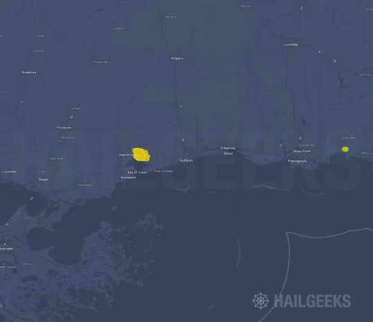
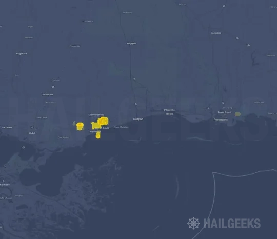
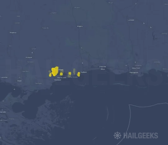
If none of these related Gulfport, MS hail maps look close enough to your property, check a free Hail Report by Address. It reviews hail history for a specific location — not just the broader Gulfport, MS region — so you can check whether hail activity may have reached your property.
Local Hail Review Options Near Gulfport, MS
Not sure whether the December 27, 2024 Gulfport, MS hail map matters for your property? Start with a free Hail Report by Address to see whether hail activity was mapped for that property. If the property signal looks meaningful, you can choose a local pro serving the Gulfport, MS region and ask about a Remote Hail Inspection before deciding whether an on-site roof or exterior review is worth scheduling.
Check a specific property to see whether hail activity from the December 27, 2024 Gulfport, MS event — or another recent hail event — may have been mapped at that address.
Find a roof or exterior pro serving the Gulfport, MS region who can help you understand what the property hail signal may mean.
A participating local pro reviews property-level hail history remotely — not just the December 27, 2024 event — to help decide whether an on-site inspection may be worth scheduling.
A free Hail Report by Address and a Remote Hail Inspection can help you look beyond the December 27, 2024 hail map visuals alone. They do not confirm property damage and do not replace an on-site inspection for a property in the Gulfport, MS region, but they can help you make a more informed next decision before anyone climbs on the roof.
Frequently Asked Questions
Common questions about the December 27, 2024 Gulfport, MS hail event.